Platere Castle Mound
| Address | Madliena Parish, Ogre Municipality |
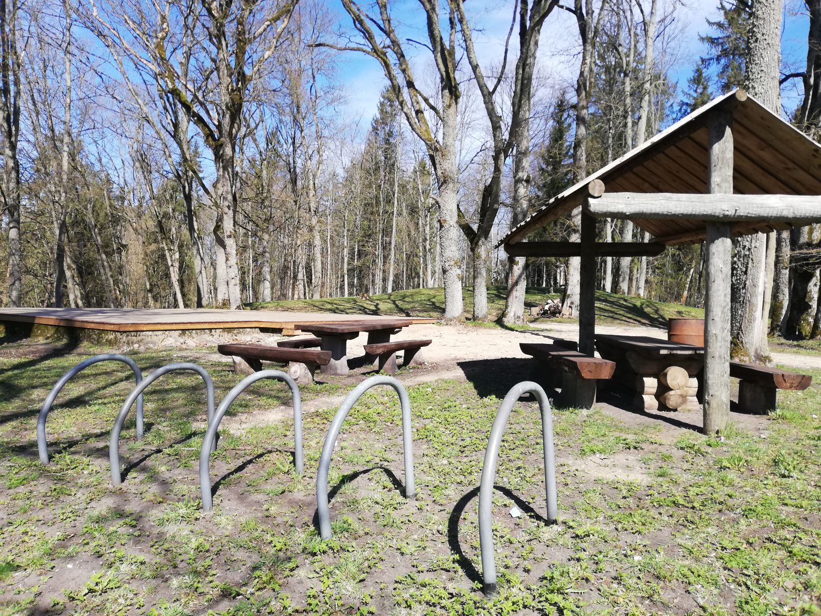
| Description | The castle mound was created on top of an approximately 20-metre-high hill. To make the castle mound steeper, the ground was dug off at the foot to make space for a deep and wide ditch on three sides. A terrace was made on the fourth side. The plateau is oval, 100 m in length and 50 m in width in the middle. On the south-east side, a 3-metre-high dam was built instead of the ascent. According to separate finds, the hill was inhabited between the 5th and 12th centuries. It is considered that, before the shift of Latvia's eastern border, the Plātere castle mound was situated in the geographical centre of Latvia. During the 1860s, E. Tiesenhausen, the landlord of Plātere, issued an order to build artificial castle ruins which have been partially preserved. During the Soviet period, there was an open-air stage. Unfortunately, the construction of the road to it resulted in digging the mound up. Two secular oak trees with a 6 m circumference are growing near the castle mound. The castle mound is an archaeological monument of national importance.
Listen to the audio guide’s story about this site:
The mobile app "Ogres novadnieks" is available on app stores:
|

.jpg)
.jpg)

.jpg)