Mobile app "Ogres novadnieks"
In the section Tourism, you can find information about attractions, recreational opportunities, creative workshops and cafes in the Ogre municipality. Select a category or search for sites by their location, find cycling or walking routes and explore the wonderful sites of Ogre district.
Since 2020, the mobile app has been offering a FREE audio guide with 132 stories about the most interesting places, historical events and persons in the Ogre municipality. The stories are narrated by Jēkabs Reinis, the actor of the National Theatre.
View and print a map of the audio guide sites!
Maps and booklets for download:
Ogre municipality tourism map ENG
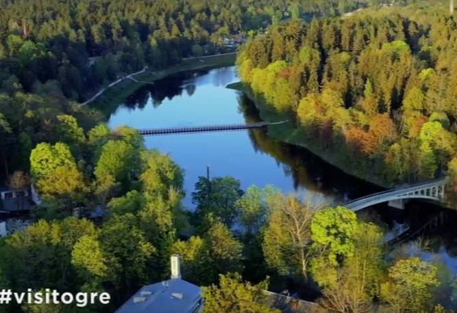
.jpg) The nature park Ogre Blue Hills is a specially protected 312-ha-large area. Most of the park's territory is covered by coniferous forests on eskers which are a series of small hills belonging to the Lielie Kangari Hills. The nature park has cycle paths, walking, educational, and cross-country skiing trails, open to Nordic walkers, cyclists and other active recreation enthusiasts during the snow-free period.
The nature park Ogre Blue Hills is a specially protected 312-ha-large area. Most of the park's territory is covered by coniferous forests on eskers which are a series of small hills belonging to the Lielie Kangari Hills. The nature park has cycle paths, walking, educational, and cross-country skiing trails, open to Nordic walkers, cyclists and other active recreation enthusiasts during the snow-free period.
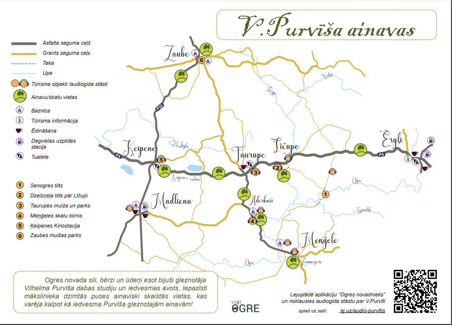
The map "V. Purvītis Landscapes" introduces visitors to the artist's homeland, landscapes and significant places in his life in the Taurupe area. The forests, birches and waters of the Ogre region are said to have been a source of study and inspiration for the painter Vilhelms Purvītis. The map also includes other useful places and practical information for travellers. From Riga, the most direct route to the birthplace of Vilhelms Purvītis is the Riga-Ergļi road. The winding and hilly road offers enchanting scenery of the Latvian countryside, forests and lakes.
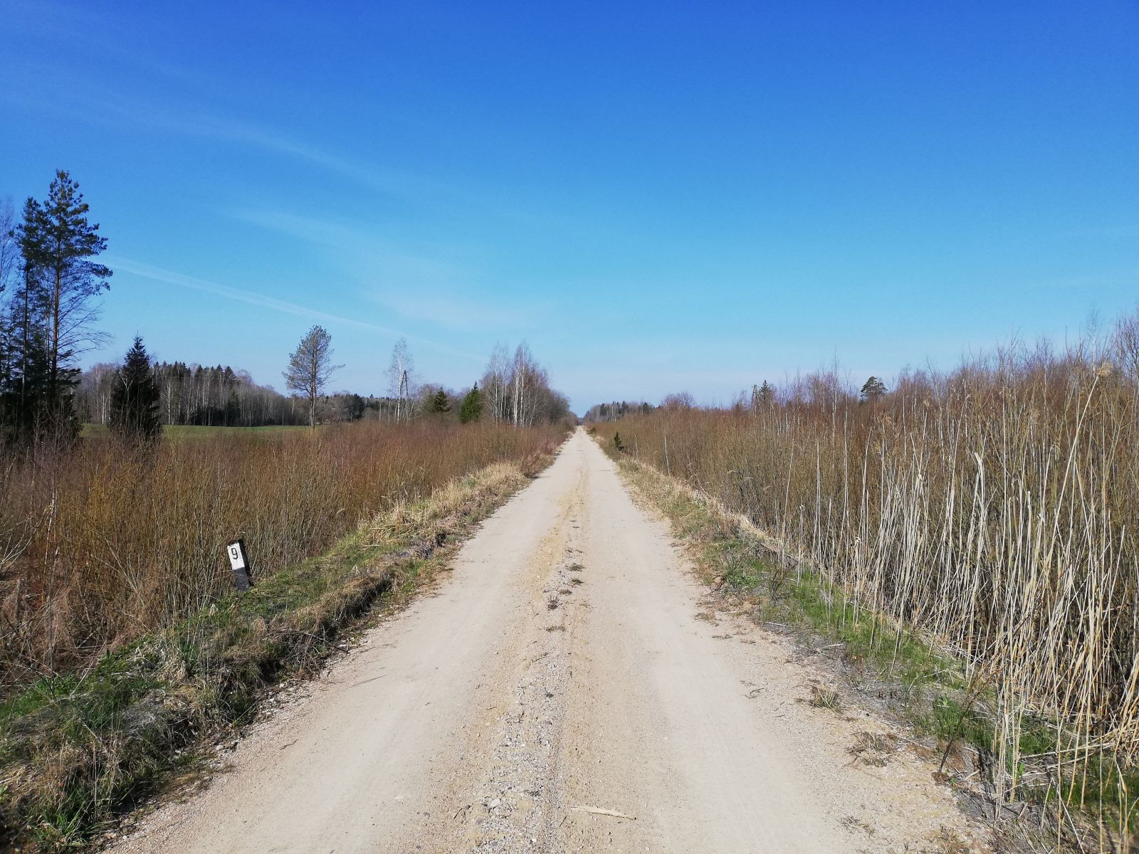
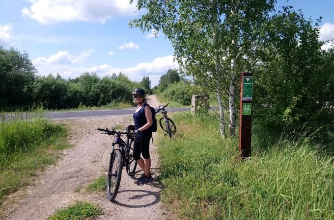 The 98 km long green road Rīga-Ērgļi runs along the former railway line which is now suitable for cyclists, hikers, horse riders and skiers in winter. The route is mostly gravel-covered or forest road marked with kilometre marker posts and signs pointing to the nearest sights. The new route is most easily reached from the Ogre railway station by taking the cycling path No 160, which serves as a connecting link. The route is marked with blue cycle path signs. It runs through the Ogre Blue Hills and Tīnūži before arriving at the former Kangari railway station and then continues in the direction of Ērgļi, stopping at former railway stations and other places of interest.
.jpeg) The 35 km long circular route No 163 focuses on the Ogre Valley Nature Park, which is very attractive in all seasons. Here you can see a typical rural landscape - park-like meadows and mixed oak, elm and ash forests on the banks of the Ogre River. It is complemented by a cable bridge over the Ogre River, a viewing platform and a viewing tower. The small river Sumulda, which flows into the Ogre River, is also a very interesting sight. The route can be followed on an alternative road (not signposted), which allows you to see magnificent scenery but may be difficult to pass during rainy periods.
The 35 km long circular route No 163 focuses on the Ogre Valley Nature Park, which is very attractive in all seasons. Here you can see a typical rural landscape - park-like meadows and mixed oak, elm and ash forests on the banks of the Ogre River. It is complemented by a cable bridge over the Ogre River, a viewing platform and a viewing tower. The small river Sumulda, which flows into the Ogre River, is also a very interesting sight. The route can be followed on an alternative road (not signposted), which allows you to see magnificent scenery but may be difficult to pass during rainy periods.
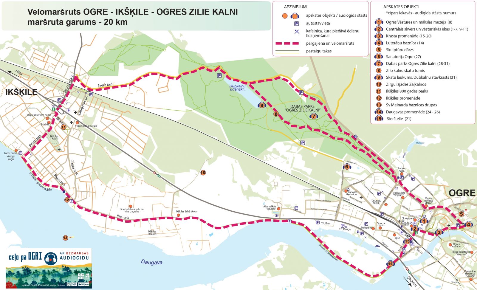 The 20 km long circular cycling route Ogre-Ikšķile connects the two towns, including the promenades along the River Daugava and the scenic nature park The Ogre Blue Hills with the Dubkalni reservoir, an observation tower, and several picnic spots. You can start the route either at the Ogre and Ikšķile railway stations or at the starting point in the Ogre Blue Hills, where parking is available. Attention! The route is not marked.
The route Līčupe-Ogresmuiža is currently unmarked and not popularized, so we offer you to experience the joy of a discoverer. The description of the route and the sights are available in the Tourism section of the mobile application Ogres novadnieks.
.jpg) The circular route along the banks of the Ogre River is 3.5 km long. It runs along the Ogre
The circular route along the banks of the Ogre River is 3.5 km long. It runs along the Ogre
Krasta promenade and J. Čakste’s street, offering a magnificent view of the river and its banks. The Ogre River can be crossed in two places - the arched bridge and the new pedestrian bridge, thus allowing you to see both banks of the river in one route. The route is not marked but easy to follow along the river banks.
The 4.3 km route to the new Ogre pier from the city centre allows you to see the buildings of Pārogre, as well as the unique recreational and walking area - the pier. Here you can enjoy a wonderful view of the Daugava and the opposite bank of the river. The views are particularly beautiful at sunset. The route can be extended to include the small circle of Ogre town along the Krasta promenade and the pedestrian section of Brīvības Street.
.jpg) Three different routes are available for cyclists in Ogre: the 8.3 km Ogre Blue Mountains, the 8.2 km Ogre River Bends and the 11.6 km route to Špakovska Park and the Daugava promenade. The routes can be combined to explore Ogre's most beautiful natural and urban landscapes, which intermingle in the city.
Three different routes are available for cyclists in Ogre: the 8.3 km Ogre Blue Mountains, the 8.2 km Ogre River Bends and the 11.6 km route to Špakovska Park and the Daugava promenade. The routes can be combined to explore Ogre's most beautiful natural and urban landscapes, which intermingle in the city.
Attention! The routes are not marked in nature.
Regional cycling route "Lejasdaugava - Ogre River Valley" (No 12).
Cycling route starts in Stopini municipality in Dreiliņi, leaving from Riga on the P4 motorway, winds through Stopiņi, Ogre municipalities, and ends in Ērgļi, Madona municipality. The cycling route introduces riders to the diversity and richness of the natural and cultural-historical offer of the Lower Daugava Region.
The total length of the cycle route is 190 kilometres.
Download the maps here:
Cycling route "Lower daugava - The Ogre Valley" - in Ogre County
Cycilng rout "Lower Daugava - The Ogre Valley" - the whole route
Ogre municipality tourist attractions
Ogres river boating route
